
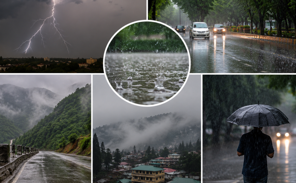
New Delhi: The India Meteorological Department (IMD) has forecast another active spell of monsoon rainfall across several parts of India, with heavy to extremely heavy showers likely in Gujarat and Maharashtra as a low-pressure system moves west-northwestwards.
Weather Systems, Forecast and Warnings :
❖ The monsoon trough is active and south of its normal position in lower tropospheric levels.
❖ Yesterday’s Low-Pressure Area South Chhattisgarh & neighbourhood lay over southwest Madhya Pradesh and adjoining north Vidarbha at 0830 hrs… pic.twitter.com/QJUPdLbpwL— India Meteorological Department (@Indiametdept) September 13, 2026
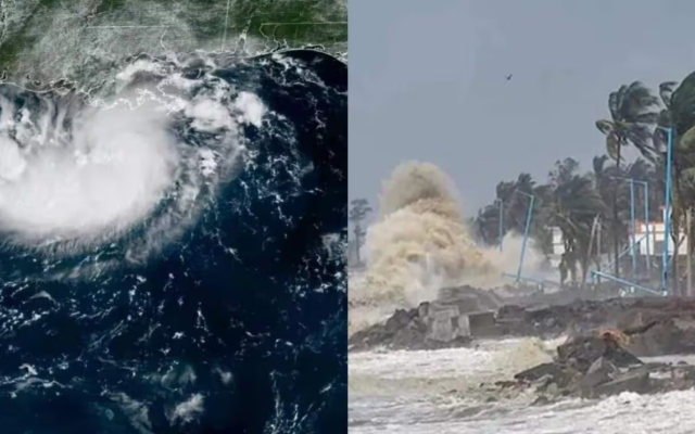
The system formed over the northwest and west-central Bay of Bengal near the coasts of south Odisha and north Andhra Pradesh and was located over southwest Madhya Pradesh and adjoining north Vidarbha at 8.30 am on September 13.
It is expected to move across southeast Rajasthan and adjoining north Gujarat in the next 24 hours.
Gujarat, Saurashtra and Kutch are likely to receive widespread rainfall from September 13-15, with isolated extremely heavy rain over Gujarat on September 13 and very heavy showers thereafter.
Maharashtra’s Konkan and Goa, Madhya Maharashtra and Marathwada are also expected to receive widespread rain, with extremely heavy rainfall possible over north Madhya Maharashtra.
Mumbai and neighbouring Thane, Palghar and Raigad may see heavy showers, thunderstorms and gusty winds.
West Madhya Pradesh, Vidarbha, Chhattisgarh, East Rajasthan, Haryana, Delhi, Punjab, Bihar, Odisha and several northeastern states are also likely to receive rain over the coming days.
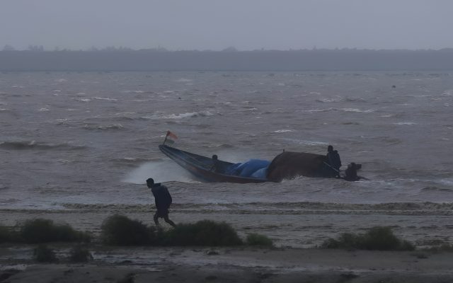
Kerala, Tamil Nadu, Puducherry, Karaikal and Mahe may see isolated heavy showers. Fishermen have been warned along the north Maharashtra coast on September 13 and Gujarat coast and adjoining northeast Arabian Sea until September 16.
India’s cumulative monsoon rainfall stood at 662.3 mm from June 1 to September 12, 15% below the normal 778.6 mm.